 vesseltracker.com
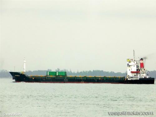
 Mv.akashia
Current Status
Where is the vessel?
Mv.akashia is currently in Near Tanjung Perak, based on AIS data received about 1h ago.
Latest AIS update:
Current position: 7.20295° S, 112.72580° E (Near Tanjung Perak)
Average speed (last 7 days): Loading…
Average speed (last 30 days): Loading…
Vessel profile: Mv.akashia is a Container Ship with dimensions 96m x 16m.
This page combines live AIS, route history, probable destination signals, nearby traffic, and port activity for practical vessel monitoring.
The current position of vessel Mv.akashia is -7.20295 lat / 112.72580 lng. Updated: 2026-05-16 01:10:26 UTCNearest reference points:
- Near Tanjung Perak
- Near Tanjong Perak
- Near Kalianak Barat
Currently sailing under the flag of Indonesia ![]()
Details:
Live Vessel Mv.akashia Analytics (details, animations, etc.)
Recent AIS points (UTC):
2026-05-15 22:19:26 UTC · -7.20299, 112.72581 · SOG 0 kn · COG 149°2026-05-15 23:07:26 UTC · -7.20293, 112.72573 · SOG 0 kn · COG 150°
2026-05-15 23:58:27 UTC · -7.20296, 112.72579 · SOG 0 kn · COG 151°
2026-05-16 01:10:26 UTC · -7.20295, 112.72580 · SOG 0 kn · COG 150°