 vesseltracker.com
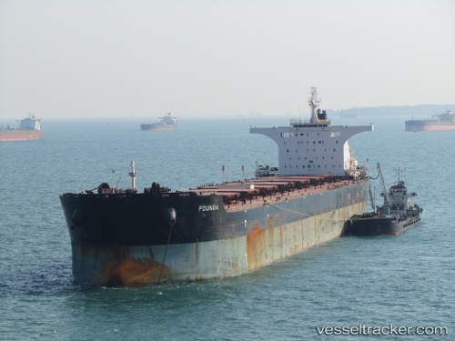
 POUNDA
Current Status
Where is the vessel?
POUNDA is currently in Near DALRYMPLE, based on AIS data received less than 1h ago.
Latest AIS update:
Current position: 21.24354° S, 149.30161° E (Near DALRYMPLE)
Average speed (last 7 days): Loading…
Average speed (last 30 days): Loading…
Vessel profile: POUNDA is a Bulk Carrier with dimensions m x m.
This page combines live AIS, route history, probable destination signals, nearby traffic, and port activity for practical vessel monitoring.
The current position of vessel POUNDA is -21.24354 lat / 149.30161 lng. Updated: 2026-04-30 19:56:11 UTCNearest reference points:
- Near Mackay
- Near Whitsunday Island
- Near Abell Point
Currently sailing under the flag of Malta ![]()
Details:
Live Vessel POUNDA Analytics (details, animations, etc.)
Recent AIS points (UTC):
2026-04-30 16:05:07 UTC · -21.24353, 149.30164 · SOG 0 kn · COG 150°2026-04-30 18:14:10 UTC · -21.24356, 149.30164 · SOG 0.1 kn · COG 150°
2026-04-30 19:53:09 UTC · -21.24354, 149.30161 · SOG 0 kn · COG 150°
2026-04-30 19:56:11 UTC · -21.24354, 149.30161 · SOG 0.1 kn · COG 150°