 vesseltracker.com
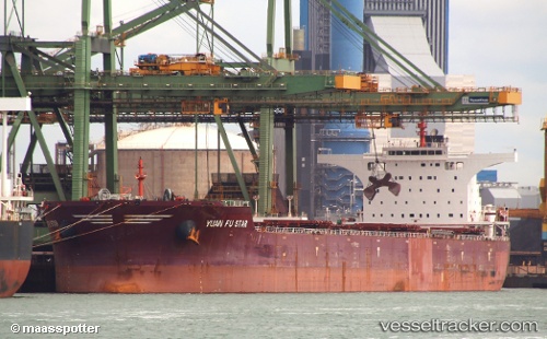
 LONG MEI
Current Status
Where is the vessel?
LONG MEI is currently in 49 nm W of Thoppumpady, based on AIS data received about 1h ago.
Latest AIS update:
Current position: 9.73156° N, 75.44544° E (49 nm W of Thoppumpady)
Average speed (last 7 days): Loading…
Average speed (last 30 days): Loading…
Vessel profile: LONG MEI is a Bulk Carrier with dimensions m x m.
This page combines live AIS, route history, probable destination signals, nearby traffic, and port activity for practical vessel monitoring.
The current position of vessel LONG MEI is 9.73156 lat / 75.44544 lng. Updated: 2026-05-13 22:24:50 UTCNearest reference points:
- Near Cochin
- Near Edappally
- 45 nm SW of Kalpeni Island
Currently sailing under the flag of Marshall Islands ![]()
Details:
Live Vessel LONG MEI Analytics (details, animations, etc.)
Recent AIS points (UTC):
2026-05-13 18:13:21 UTC · 9.20467, 75.74241 · SOG 8.6 kn · COG 328°2026-05-13 18:13:21 UTC · 9.20467, 75.74241 · SOG 8.6 kn · COG 328°
2026-05-13 20:32:09 UTC · 9.48523, 75.57335 · SOG 8.6 kn · COG 330°
2026-05-13 22:24:50 UTC · 9.73156, 75.44544 · SOG 8.8 kn · COG 333°