 vesseltracker.com
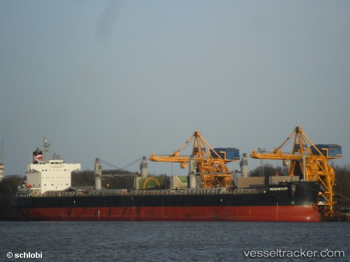
 MOONBEAM
Current Status
Where is the vessel?
MOONBEAM is currently in 23 nm N of Lince, based on AIS data received less than 1h ago.
Latest AIS update:
Current position: 12.46333° N, 77.19500° W (23 nm N of Lince)
Average speed (last 7 days): Loading…
Average speed (last 30 days): Loading…
Vessel profile: MOONBEAM is a Bulk Carrier with dimensions 190m x 32m.
This page combines live AIS, route history, probable destination signals, nearby traffic, and port activity for practical vessel monitoring.
The current position of vessel MOONBEAM is 12.46333 lat / -77.19500 lng. Updated: 2026-05-13 21:34:49 UTCNearest reference points:
- 62 nm NE of Playón Chico
- Near Sociedad Portuaria Regional Cartagena
- Near Contecar
Currently sailing under the flag of Liberia ![]()
MOONBEAM built in 2013 year
Deadweight:
58138 tDetails:
Live Vessel MOONBEAM Analytics (details, animations, etc.)
Recent AIS points (UTC):
2026-05-13 17:58:48 UTC · 11.88500, -76.80667 · SOG 11 kn · COG -1°2026-05-13 19:44:52 UTC · 12.17090, -76.99616 · SOG 11.2 kn · COG 335°
2026-05-13 19:46:52 UTC · 12.17500, -76.99833 · SOG 11 kn · COG -1°
2026-05-13 21:34:49 UTC · 12.46333, -77.19500 · SOG 11 kn · COG -1°