 vesseltracker.com
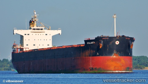
 M EXPLORER
Current Status
Where is the vessel?
M EXPLORER is currently in 179 nm S of Dutch Harbor, based on AIS data received about 1h ago.
Latest AIS update:
Current position: 50.96085° N, 165.62794° W (179 nm S of Dutch Harbor)
Average speed (last 7 days): Loading…
Average speed (last 30 days): Loading…
Vessel profile: M EXPLORER is a Bulk Carrier with dimensions m x m.
This page combines live AIS, route history, probable destination signals, nearby traffic, and port activity for practical vessel monitoring.
The current position of vessel M EXPLORER is 50.96085 lat / -165.62794 lng. Updated: 2026-04-29 02:56:30 UTCDetails:
Live Vessel M EXPLORER Analytics (details, animations, etc.)
Recent AIS points (UTC):
2026-04-28 22:20:47 UTC · 50.85920, -167.14293 · SOG 12.8 kn · COG 82°2026-04-29 00:13:19 UTC · 50.90017, -166.53093 · SOG 12.2 kn · COG 81°
2026-04-29 01:49:53 UTC · 50.93168, -165.99878 · SOG 12.7 kn · COG 80°
2026-04-29 02:56:30 UTC · 50.96085, -165.62794 · SOG 13 kn · COG 80°