 vesseltracker.com
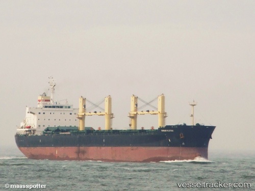
 PRINCESS ERIN
Current Status
Where is the vessel?
PRINCESS ERIN is currently in Near Marina di Ravenna, based on AIS data received less than 1h ago.
Latest AIS update:
Current position: 44.46561° N, 12.25212° E (Near Marina di Ravenna)
Average speed (last 7 days): Loading…
Average speed (last 30 days): Loading…
Vessel profile: PRINCESS ERIN is a Bulk Carrier with dimensions 32m x 190m.
This page combines live AIS, route history, probable destination signals, nearby traffic, and port activity for practical vessel monitoring.
The current position of vessel PRINCESS ERIN is 44.46561 lat / 12.25212 lng. Updated: 2026-05-14 01:28:29 UTCNearest reference points:
- Near Marina di Ravenna
- Near Porto San Vitale
- Near San Giuseppe
Currently sailing under the flag of Marshall Islands ![]()
PRINCESS ERIN built in 2011 year
Deadweight:
57334 tDetails:
Live Vessel PRINCESS ERIN Analytics (details, animations, etc.)
Recent AIS points (UTC):
2026-05-13 22:58:30 UTC · 44.46563, 12.25212 · SOG 0 kn · COG 199°2026-05-13 23:55:29 UTC · 44.46563, 12.25211 · SOG 0 kn · COG 199°
2026-05-14 01:23:19 UTC · 44.46560, 12.25213 · SOG 0 kn · COG 196°
2026-05-14 01:28:29 UTC · 44.46561, 12.25212 · SOG 0 kn · COG 199°