 vesseltracker.com
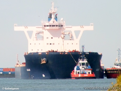
Cape Providence
Current StatusWhere is the vessel?
Cape Providence is currently in 37 nm N of Tami Island, based on AIS data received about 1h ago.
Latest AIS update:
Current position: 6.14333° S, 147.89667° E (37 nm N of Tami Island)
Average speed (last 7 days): Loading…
Average speed (last 30 days): Loading…
Vessel profile: Cape Providence is a Bulk Carrier with dimensions 45m x 292m.
This page combines live AIS, route history, probable destination signals, nearby traffic, and port activity for practical vessel monitoring.
The current position of vessel Cape Providence is -6.14333 lat / 147.89667 lng. Updated: 2026-04-23 10:23:19 UTCNearest reference points:
- 42 nm E of Tami Island
- Near Lae
Details:
Live Vessel Cape Providence Analytics (details, animations, etc.)
Recent AIS points (UTC):
2026-04-23 07:38:07 UTC · -6.47633, 148.32687 · SOG 11.7 kn · COG 305°2026-04-23 07:51:45 UTC · -6.45276, 148.28902 · SOG 11.6 kn · COG 305°
2026-04-23 09:23:14 UTC · -6.28333, 148.04500 · SOG 11 kn · COG -1°
2026-04-23 10:23:19 UTC · -6.14333, 147.89667 · SOG 12 kn · COG -1°