 vesseltracker.com
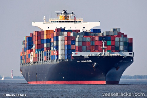
Seroja Tiga
Current StatusWhere is the vessel?
Seroja Tiga is currently in 22 nm E of Warana, based on AIS data received less than 1h ago.
Latest AIS update:
Current position: 26.45671° S, 153.61803° E (22 nm E of Warana)
Average speed (last 7 days): Loading…
Average speed (last 30 days): Loading…
Vessel profile: Seroja Tiga is a Container Ship with dimensions 46m x 316m.
This page combines live AIS, route history, probable destination signals, nearby traffic, and port activity for practical vessel monitoring.
The current position of vessel Seroja Tiga is -26.45671 lat / 153.61803 lng. Updated: 2026-05-16 13:31:03 UTCNearest reference points:
- Near MOOLOOLABA
- Near Minyama
- Near NOOSAVILLE
Details:
Live Vessel Seroja Tiga Analytics (details, animations, etc.)
Recent AIS points (UTC):
2026-05-16 09:39:15 UTC · -26.46553, 153.67781 · SOG 2.9 kn · COG 59°2026-05-16 10:54:05 UTC · -26.45562, 153.67017 · SOG 1.2 kn · COG 31°
2026-05-16 11:45:59 UTC · -26.45400, 153.65152 · SOG 0.9 kn · COG 27°
2026-05-16 13:31:03 UTC · -26.45671, 153.61803 · SOG 0.9 kn · COG 8°