 vesseltracker.com
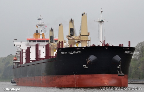
 CAPE GEORGE
Current Status
Where is the vessel?
CAPE GEORGE is currently in 16 nm NW of Christiansø Havn, based on AIS data received about 1h ago.
Latest AIS update:
Current position: 55.54254° N, 14.92883° E (16 nm NW of Christiansø Havn)
Average speed (last 7 days): Loading…
Average speed (last 30 days): Loading…
Vessel profile: CAPE GEORGE is a Bulk Carrier with dimensions m x m.
This page combines live AIS, route history, probable destination signals, nearby traffic, and port activity for practical vessel monitoring.
The current position of vessel CAPE GEORGE is 55.54254 lat / 14.92883 lng. Updated: 2026-05-13 17:26:01 UTCNearest reference points:
- Near TEJN
- Near Sölvesborg
- Near RONNEBY
Currently sailing under the flag of Marshall Islands ![]()
Details:
Live Vessel CAPE GEORGE Analytics (details, animations, etc.)
Recent AIS points (UTC):
2026-05-13 14:21:51 UTC · 55.68566, 15.77640 · SOG 9.7 kn · COG 258°2026-05-13 15:36:22 UTC · 55.63288, 15.43003 · SOG 9.8 kn · COG 260°
2026-05-13 16:33:00 UTC · 55.59300, 15.16577 · SOG 9.8 kn · COG 257°
2026-05-13 17:26:01 UTC · 55.54254, 14.92883 · SOG 10 kn · COG 246°