 vesseltracker.com
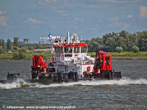
Meibion Island
Current StatusWhere is the vessel?
Meibion Island is currently in Near Al Hamriyah, based on AIS data received about 15d ago.
Latest AIS update:
Current position: 25.46850° N, 55.50541° E (Near Al Hamriyah)
Average speed (last 7 days): Loading…
Average speed (last 30 days): Loading…
Vessel profile: Meibion Island is a Utility Vessel with dimensions 11m x 32m.
This page combines live AIS, route history, probable destination signals, nearby traffic, and port activity for practical vessel monitoring.
The current position of vessel Meibion Island is 25.46850 lat / 55.50541 lng. Updated: 2026-04-28 13:13:00 UTCNearest reference points:
- Near Al Hamriyah
- Near AJMAN
- Near Sharjah
Details:
Live Vessel Meibion Island Analytics (details, animations, etc.)
Recent AIS points (UTC):
2026-04-28 13:13:00 UTC · 25.46850, 55.50541 · SOG 0 kn · COG 27°