 vesseltracker.com
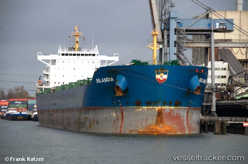
Thunderbird
Current StatusWhere is the vessel?
Thunderbird is currently in 187 nm NW of Bolinao, based on AIS data received about 6h ago.
Latest AIS update:
Current position: 17.84587° N, 117.00826° E (187 nm NW of Bolinao)
Average speed (last 7 days): Loading…
Average speed (last 30 days): Loading…
Vessel profile: Thunderbird is a Bulk Carrier with dimensions 32m x 228m.
This page combines live AIS, route history, probable destination signals, nearby traffic, and port activity for practical vessel monitoring.
The current position of vessel Thunderbird is 17.84587 lat / 117.00826 lng. Updated: 2026-05-16 06:40:47 UTCNearest reference points:
- 138 nm NW of Bolinao
- 148 nm SE of Xijiang
Details:
Live Vessel Thunderbird Analytics (details, animations, etc.)
Recent AIS points (UTC):
2026-05-16 06:40:47 UTC · 17.84587, 117.00826 · SOG 11.8 kn · COG 147°2026-05-16 06:40:47 UTC · 17.84587, 117.00826 · SOG 11.8 kn · COG 147°
2026-05-16 06:40:47 UTC · 17.84587, 117.00826 · SOG 11.8 kn · COG 147°
2026-05-16 06:40:47 UTC · 17.84587, 117.00826 · SOG 11.8 kn · COG 147°