 vesseltracker.com
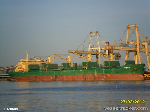
Good Hope
Current StatusWhere is the vessel?
Good Hope is currently in 350 nm E of Akpo, based on AIS data received about 3h ago.
Latest AIS update:
Current position: 3.06246° S, 66.65440° E (350 nm E of Akpo)
Average speed (last 7 days): Loading…
Average speed (last 30 days): Loading…
Vessel profile: Good Hope is a Bulk Carrier with dimensions 32m x 190m.
This page combines live AIS, route history, probable destination signals, nearby traffic, and port activity for practical vessel monitoring.
The current position of vessel Good Hope is -3.06246 lat / 66.65440 lng. Updated: 2026-05-15 00:05:23 UTCDetails:
Live Vessel Good Hope Analytics (details, animations, etc.)
Recent AIS points (UTC):
2026-05-14 21:33:03 UTC · -3.23110, 66.20312 · SOG 11.2 kn · COG 69°2026-05-14 22:41:02 UTC · -3.15085, 66.40258 · SOG 11.3 kn · COG 68°
2026-05-14 23:06:06 UTC · -3.12169, 66.47651 · SOG 11.5 kn · COG 73°
2026-05-15 00:05:23 UTC · -3.06246, 66.65440 · SOG 11.1 kn · COG 74°