 vesseltracker.com
 HUA YANG MEI GUI
Current Status
Where is the vessel?
HUA YANG MEI GUI is currently in 20 nm E of Wenling Longmen Port, based on AIS data received less than 1h ago.
Latest AIS update:
Current position: 28.51333° N, 122.35500° E (20 nm E of Wenling Longmen Port)
Average speed (last 7 days): Loading…
Average speed (last 30 days): Loading…
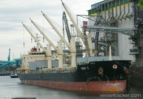
Vessel profile: HUA YANG MEI GUI is a Bulk Carrier with dimensions 26m x 177m.
This page combines live AIS, route history, probable destination signals, nearby traffic, and port activity for practical vessel monitoring.
The current position of vessel HUA YANG MEI GUI is 28.51333 lat / 122.35500 lng. Updated: 2026-05-14 03:27:48 UTCNearest reference points:
- 16 nm NE of Wenling Longmen Port
- 28 nm NE of Wenling Longmen Port
- Near Wenling Longmen Port
Currently sailing under the flag of China Peopless Republic ![]()
HUA YANG MEI GUI built in 2011 year
Deadweight:
29974 tDetails:
Live Vessel HUA YANG MEI GUI Analytics (details, animations, etc.)
Recent AIS points (UTC):
2026-05-13 23:48:46 UTC · 27.87500, 121.92167 · SOG 12 kn · COG -1°2026-05-14 01:43:34 UTC · 28.21554, 122.15713 · SOG 12.2 kn · COG 28°
2026-05-14 01:48:05 UTC · 28.22879, 122.16587 · SOG 12.1 kn · COG 28°
2026-05-14 03:27:48 UTC · 28.51333, 122.35500 · SOG 11 kn · COG -1°