 vesseltracker.com
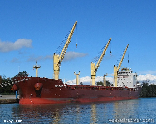
 CAPE
CAPE
Current Status
Where is the vessel?
CAPE is currently in 15 nm SW of Thoppumpady, based on AIS data received about 1h ago.
Latest AIS update:
Current position: 9.82060° N, 76.03193° E (15 nm SW of Thoppumpady)
Average speed (last 7 days): Loading…
Average speed (last 30 days): Loading…
Vessel profile: CAPE is a Bulk Carrier with dimensions m x m.
This page combines live AIS, route history, probable destination signals, nearby traffic, and port activity for practical vessel monitoring.
The current position of vessel CAPE is 9.82060 lat / 76.03193 lng. Updated: 2026-05-13 23:18:44 UTCNearest reference points:
- Near Cochin
- Near Edappally
- 41 nm S of Nagercoil
Currently sailing under the flag of Marshall Islands ![]()
Details:
Live Vessel CAPE Analytics (details, animations, etc.)
Recent AIS points (UTC):
2026-05-13 18:12:43 UTC · 9.82046, 76.03187 · SOG 0.3 kn · COG 284°2026-05-13 21:12:45 UTC · 9.82053, 76.03200 · SOG 0.7 kn · COG 279°
2026-05-13 22:18:45 UTC · 9.82090, 76.03194 · SOG 0.2 kn · COG 265°
2026-05-13 23:18:44 UTC · 9.82060, 76.03193 · SOG 0.4 kn · COG 279°