 vesseltracker.com
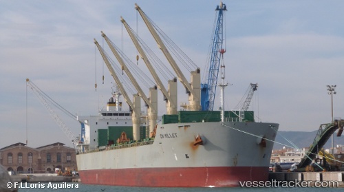
 Amilla
Current Status
Where is the vessel?
Amilla is currently in 18 nm N of Mtwara, based on AIS data received about 1h ago.
Latest AIS update:
Current position: 9.96465° S, 40.31223° E (18 nm N of Mtwara)
Average speed (last 7 days): Loading…
Average speed (last 30 days): Loading…
Vessel profile: Amilla is a Bulk Carrier with dimensions 196m x 32m.
This page combines live AIS, route history, probable destination signals, nearby traffic, and port activity for practical vessel monitoring.
The current position of vessel Amilla is -9.96465 lat / 40.31223 lng. Updated: 2026-05-15 17:41:51 UTCNearest reference points:
- Near Mtwara
- 64 nm NE of Mtwara
Currently sailing under the flag of Marshall Is ![]()
Amilla built in 2011 year
Deadweight:
58444 tDetails:
Live Vessel Amilla Analytics (details, animations, etc.)
Recent AIS points (UTC):
2026-05-15 13:50:40 UTC · -9.99585, 40.24980 · SOG 2.7 kn · COG 231°2026-05-15 15:38:01 UTC · -9.95257, 40.16697 · SOG 3.4 kn · COG 258°
2026-05-15 17:05:51 UTC · -9.94050, 40.20425 · SOG 10.5 kn · COG 105°
2026-05-15 17:41:51 UTC · -9.96465, 40.31223 · SOG 11 kn · COG 105°