 vesseltracker.com
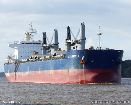
 ERACLE
Current Status
Where is the vessel?
ERACLE is currently in 156 nm S of Benahavis, based on AIS data received less than 1h ago.
Latest AIS update:
Current position: 34.01830° N, 49.66298° W (156 nm S of Benahavis)
Average speed (last 7 days): Loading…
Average speed (last 30 days): Loading…
Vessel profile: ERACLE is a Bulk Carrier with dimensions 190m x 32m.
This page combines live AIS, route history, probable destination signals, nearby traffic, and port activity for practical vessel monitoring.
The current position of vessel ERACLE is 34.01830 lat / -49.66298 lng. Updated: 2026-05-16 06:13:42 UTCCurrently sailing under the flag of Liberia ![]()
ERACLE built in 2012 year
Deadweight:
58018 tDetails:
Live Vessel ERACLE Analytics (details, animations, etc.)
Recent AIS points (UTC):
2026-05-16 01:21:48 UTC · 33.80384, -50.66912 · SOG 10.5 kn · COG 76°2026-05-16 01:52:00 UTC · 33.82498, -50.56604 · SOG 10.6 kn · COG 76°
2026-05-16 03:48:29 UTC · 33.90620, -50.17287 · SOG 10.6 kn · COG 76°
2026-05-16 06:13:42 UTC · 34.01830, -49.66298 · SOG 11 kn · COG 78°