 vesseltracker.com
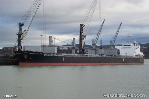
 RB DYLAN
Current Status
Where is the vessel?
RB DYLAN is currently in 96 nm S of Guarujá, based on AIS data received about 1h ago.
Latest AIS update:
Current position: 25.51159° S, 45.65873° W (96 nm S of Guarujá)
Average speed (last 7 days): Loading…
Average speed (last 30 days): Loading…
Vessel profile: RB DYLAN is a Bulk Carrier with dimensions 190m x 32m.
This page combines live AIS, route history, probable destination signals, nearby traffic, and port activity for practical vessel monitoring.
The current position of vessel RB DYLAN is -25.51159 lat / -45.65873 lng. Updated: 2026-05-14 07:41:38 UTCNearest reference points:
- 56 nm S of Sao Sebastiao
- 36 nm S of Guarujá
- 30 nm SE of Guarujá
Currently sailing under the flag of Marshall Islands ![]()
RB DYLAN built in 2012 year
Deadweight:
56129 tDetails:
Live Vessel RB DYLAN Analytics (details, animations, etc.)
Recent AIS points (UTC):
2026-05-14 04:06:08 UTC · -24.91449, -46.03123 · SOG 11.1 kn · COG 153°2026-05-14 06:09:48 UTC · -25.25840, -45.82238 · SOG 11 kn · COG 154°
2026-05-14 07:05:16 UTC · -25.40975, -45.72569 · SOG 11 kn · COG 152°
2026-05-14 07:41:38 UTC · -25.51159, -45.65873 · SOG 11.9 kn · COG 152°