 vesseltracker.com
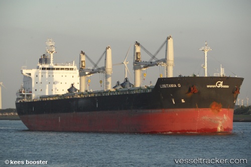
Clipper Barolo
Current StatusWhere is the vessel?
Clipper Barolo is currently in 30 nm E of Muara Pantai, based on AIS data received less than 1h ago.
Latest AIS update:
Current position: 2.02167° N, 118.62333° E (30 nm E of Muara Pantai)
Average speed (last 7 days): Loading…
Average speed (last 30 days): Loading…
Vessel profile: Clipper Barolo is a Bulk Carrier with dimensions 32m x 196m.
This page combines live AIS, route history, probable destination signals, nearby traffic, and port activity for practical vessel monitoring.
The current position of vessel Clipper Barolo is 2.02167 lat / 118.62333 lng. Updated: 2026-05-15 10:06:56 UTCNearest reference points:
- Near Muara Pantai
- 81 nm E of Muara Pantai
- 69 nm E of Kaliorang
Details:
Live Vessel Clipper Barolo Analytics (details, animations, etc.)
Recent AIS points (UTC):
2026-05-15 06:12:55 UTC · 2.66667, 118.98333 · SOG 12 kn · COG -1°2026-05-15 08:00:56 UTC · 2.30333, 118.86333 · SOG 12 kn · COG -1°
2026-05-15 08:21:56 UTC · 2.23166, 118.83833 · SOG 13 kn · COG -1°
2026-05-15 10:06:56 UTC · 2.02167, 118.62333 · SOG 2 kn · COG -1°