 vesseltracker.com
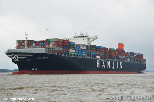
 MAERSK EMERALD
Current Status
Where is the vessel?
MAERSK EMERALD is currently in 46 nm S of Nudao, based on AIS data received less than 1h ago.
Latest AIS update:
Current position: 35.66750° N, 121.22916° E (46 nm S of Nudao)
Average speed (last 7 days): Loading…
Average speed (last 30 days): Loading…
Vessel profile: MAERSK EMERALD is a Container Ship with dimensions 366m x 48m.
This page combines live AIS, route history, probable destination signals, nearby traffic, and port activity for practical vessel monitoring.
The current position of vessel MAERSK EMERALD is 35.66750 lat / 121.22916 lng. Updated: 2026-05-14 17:38:50 UTCNearest reference points:
- 43 nm SE of Qingdao
- 36 nm SE of Qingdao
- 26 nm S of Nudao
Currently sailing under the flag of Singapore ![]()
MAERSK EMERALD built in 2012 year
Deadweight:
141189 tDetails:
Live Vessel MAERSK EMERALD Analytics (details, animations, etc.)
Recent AIS points (UTC):
2026-05-14 13:57:01 UTC · 35.67333, 121.21167 · SOG 0 kn · COG -1°2026-05-14 15:43:49 UTC · 35.68509, 121.18028 · SOG 0.8 kn · COG 142°
2026-05-14 16:57:40 UTC · 35.70755, 121.14865 · SOG 1.6 kn · COG 55°
2026-05-14 17:38:50 UTC · 35.66750, 121.22916 · SOG 9 kn · COG 118°