 vesseltracker.com
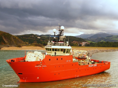
 Grampian Citadel
Current Status
Where is the vessel?
Grampian Citadel is currently in Near Alba Oil Field, based on AIS data received about 1h ago.
Latest AIS update:
Current position: 58.00281° N, 1.12246° E (Near Alba Oil Field)
Average speed (last 7 days): Loading…
Average speed (last 30 days): Loading…
Vessel profile: Grampian Citadel is a Standby Safety Vessel with dimensions 48m x 12m.
This page combines live AIS, route history, probable destination signals, nearby traffic, and port activity for practical vessel monitoring.
The current position of vessel Grampian Citadel is 58.00281 lat / 1.12246 lng. Updated: 2026-05-16 01:50:31 UTCNearest reference points:
- Near Alba Oil Field
- 19 nm W of Curlew
- 10 nm N of Leadon
Currently sailing under the flag of United Kingdom ![]()
Grampian Citadel built in 2010 year
Deadweight:
415 tDetails:
Live Vessel Grampian Citadel Analytics (details, animations, etc.)
Recent AIS points (UTC):
2026-05-15 22:11:32 UTC · 58.02301, 1.10948 · SOG 2.2 kn · COG 339°2026-05-15 23:42:51 UTC · 57.98348, 1.13233 · SOG 4.7 kn · COG 155°
2026-05-16 01:27:41 UTC · 57.99069, 1.13011 · SOG 1.9 kn · COG 341°
2026-05-16 01:50:31 UTC · 58.00281, 1.12246 · SOG 1.7 kn · COG 339°