 vesseltracker.com
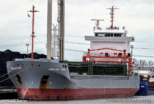
 PINDO
PINDO
Current Status
Where is the vessel?
PINDO is currently in 32 nm S of Almuñécar, based on AIS data received about 1h ago.
Latest AIS update:
Current position: 36.18780° N, 3.70193° W (32 nm S of Almuñécar)
Average speed (last 7 days): Loading…
Average speed (last 30 days): Loading…
Vessel profile: PINDO is a General Cargo with dimensions m x m.
This page combines live AIS, route history, probable destination signals, nearby traffic, and port activity for practical vessel monitoring.
The current position of vessel PINDO is 36.18780 lat / -3.70193 lng. Updated: 2026-05-13 23:32:50 UTCNearest reference points:
- 24 nm S of El Morche
- 23 nm S of Carchuna
- Near MOTRIL
Currently sailing under the flag of Portugal ![]()
Details:
Live Vessel PINDO Analytics (details, animations, etc.)
Recent AIS points (UTC):
2026-05-13 19:38:50 UTC · 36.07413, -4.67087 · SOG 12.7 kn · COG 82°2026-05-13 22:09:31 UTC · 36.14580, -4.03526 · SOG 11.9 kn · COG 75°
2026-05-13 22:17:41 UTC · 36.15064, -4.00253 · SOG 12 kn · COG 80°
2026-05-13 23:32:50 UTC · 36.18780, -3.70193 · SOG 11.6 kn · COG 78°