 vesseltracker.com
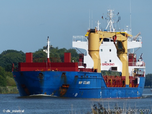
 Froland
Current Status
Where is the vessel?
Froland is currently in 10 nm NW of Spiekeroog, based on AIS data received less than 1h ago.
Latest AIS update:
Current position: 53.90301° N, 7.51907° E (10 nm NW of Spiekeroog)
Average speed (last 7 days): Loading…
Average speed (last 30 days): Loading…
Vessel profile: Froland is a Multi Purpose Carrier with dimensions 107m x 107m.
This page combines live AIS, route history, probable destination signals, nearby traffic, and port activity for practical vessel monitoring.
The current position of vessel Froland is 53.90301 lat / 7.51907 lng. Updated: 2026-05-15 13:29:43 UTCNearest reference points:
- Near Wangerooge
- Near Helgoland
- Near NORDERNEY
Currently sailing under the flag of Antigua Barbuda ![]()
Froland built in 2011 year
Deadweight:
9270 tDetails:
Live Vessel Froland Analytics (details, animations, etc.)
Recent AIS points (UTC):
2026-05-15 10:16:33 UTC · 53.78204, 6.58758 · SOG 10.9 kn · COG 77°2026-05-15 11:44:06 UTC · 53.84403, 7.01283 · SOG 10.5 kn · COG 77°
2026-05-15 13:09:22 UTC · 53.89139, 7.42235 · SOG 9.7 kn · COG 79°
2026-05-15 13:29:43 UTC · 53.90301, 7.51907 · SOG 10.2 kn · COG 78°