 vesseltracker.com
 Erge
Erge
Current Status
Where is the vessel?
Erge is currently in Near Tilos, based on AIS data received about 1h ago.
Latest AIS update:
Current position: 36.30489° N, 27.39710° E (Near Tilos)
Average speed (last 7 days): Loading…
Average speed (last 30 days): Loading…
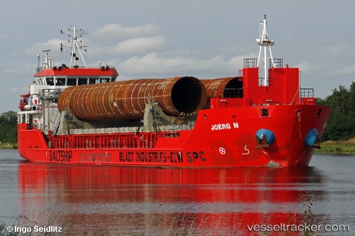
Vessel profile: Erge is a General Cargo Ship with dimensions 90m x 90m.
This page combines live AIS, route history, probable destination signals, nearby traffic, and port activity for practical vessel monitoring.
The current position of vessel Erge is 36.30489 lat / 27.39710 lng. Updated: 2026-04-23 04:20:28 UTCNearest reference points:
- 13 nm E of Nisiros
- 12 nm E of GYALI
- Near Datça
Currently sailing under the flag of Panama ![]()
Erge built in 2010 year
Deadweight:
4749 tDetails:
Live Vessel Erge Analytics (details, animations, etc.)
Recent AIS points (UTC):
2026-04-22 22:32:53 UTC · 36.18800, 26.21373 · SOG 9.9 kn · COG 81°2026-04-22 23:19:28 UTC · 36.19667, 26.37167 · SOG 9 kn · COG -1°
2026-04-23 03:42:08 UTC · 36.28239, 27.26918 · SOG 9.8 kn · COG 79°
2026-04-23 04:20:28 UTC · 36.30489, 27.39710 · SOG 9.9 kn · COG 80°