 vesseltracker.com
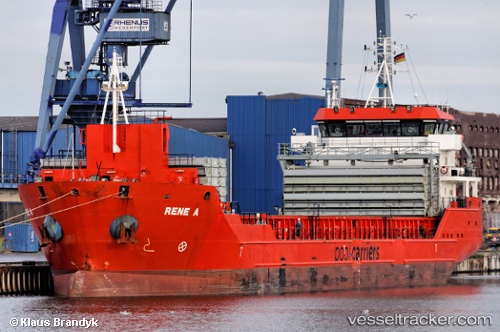
 CELINE
Current Status
Where is the vessel?
CELINE is currently in 18 nm W of Kythnos, based on AIS data received less than 1h ago.
Latest AIS update:
Current position: 37.36483° N, 24.02833° E (18 nm W of Kythnos)
Average speed (last 7 days): Loading…
Average speed (last 30 days): Loading…
Vessel profile: CELINE is a General Cargo with dimensions m x m.
This page combines live AIS, route history, probable destination signals, nearby traffic, and port activity for practical vessel monitoring.
The current position of vessel CELINE is 37.36483 lat / 24.02833 lng. Updated: 2026-05-14 12:17:25 UTCNearest reference points:
- Near Kéa (Tzia)
- Near LAVRIO MARINA
- Near LAVRIO
Currently sailing under the flag of Marshall Islands ![]()
Details:
Live Vessel CELINE Analytics (details, animations, etc.)
Recent AIS points (UTC):
2026-05-14 07:26:15 UTC · 36.65879, 23.45725 · SOG 10.4 kn · COG 32°2026-05-14 09:35:56 UTC · 36.98318, 23.71143 · SOG 10.6 kn · COG 31°
2026-05-14 10:07:46 UTC · 37.05953, 23.77501 · SOG 10.3 kn · COG 31°
2026-05-14 12:17:25 UTC · 37.36483, 24.02833 · SOG 10.2 kn · COG 30°