 vesseltracker.com
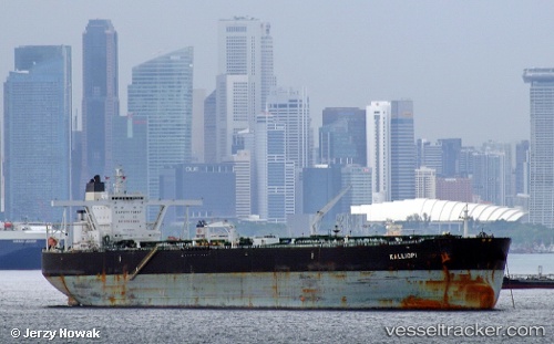
 ROTTERDAM ENERGY
Current Status
Where is the vessel?
ROTTERDAM ENERGY is currently in 17 nm NE of Mirfa, based on AIS data received about 1h ago.
Latest AIS update:
Current position: 25.64743° N, 53.72186° E (17 nm NE of Mirfa)
Average speed (last 7 days): Loading…
Average speed (last 30 days): Loading…
Vessel profile: ROTTERDAM ENERGY is a Crude Oil Tanker with dimensions m x m.
This page combines live AIS, route history, probable destination signals, nearby traffic, and port activity for practical vessel monitoring.
The current position of vessel ROTTERDAM ENERGY is 25.64743 lat / 53.72186 lng. Updated: 2026-05-16 16:28:29 UTCNearest reference points:
- 11 nm SW of Fateh Terminal
- Near Das Island
- 21 nm NE of Halul Island
Currently sailing under the flag of Liberia ![]()
Details:
Live Vessel ROTTERDAM ENERGY Analytics (details, animations, etc.)
Recent AIS points (UTC):
2026-05-16 09:04:02 UTC · 25.67446, 55.19064 · SOG 0.1 kn · COG 14°2026-05-16 09:04:02 UTC · 25.67446, 55.19064 · SOG 0.1 kn · COG 14°
2026-05-16 09:04:02 UTC · 25.67446, 55.19064 · SOG 0.1 kn · COG 14°
2026-05-16 16:28:29 UTC · 25.64743, 53.72186 · SOG 11.4 kn · COG 320°