 vesseltracker.com
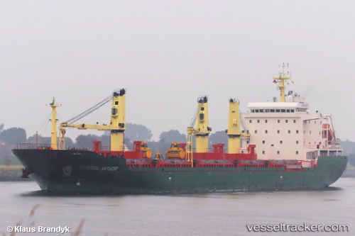
 NH ELIF
Current Status
Where is the vessel?
NH ELIF is currently in Near Tema, based on AIS data received less than 1h ago.
Latest AIS update:
Current position: 5.52272° N, 0.01429° E (Near Tema)
Average speed (last 7 days): Loading…
Average speed (last 30 days): Loading…
Vessel profile: NH ELIF is a Bulk Carrier with dimensions m x m.
This page combines live AIS, route history, probable destination signals, nearby traffic, and port activity for practical vessel monitoring.
The current position of vessel NH ELIF is 5.52272 lat / 0.01429 lng. Updated: 2026-05-01 04:55:29 UTCNearest reference points:
- Near Ablogamé
- Near Sekondi
- Near Takoradi
Currently sailing under the flag of Liberia ![]()
Details:
Live Vessel NH ELIF Analytics (details, animations, etc.)
Recent AIS points (UTC):
2026-05-01 01:10:28 UTC · 5.52287, 0.01384 · SOG 0.1 kn · COG 192°2026-05-01 02:10:28 UTC · 5.52283, 0.01390 · SOG 0 kn · COG 193°
2026-05-01 04:13:28 UTC · 5.52270, 0.01423 · SOG 0 kn · COG 208°
2026-05-01 04:55:29 UTC · 5.52272, 0.01429 · SOG 0.1 kn · COG 215°