 vesseltracker.com
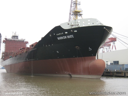
 Warnow Mate
Current Status
Where is the vessel?
Warnow Mate is currently in 68 nm E of Dar Es Salaam, based on AIS data received less than 1h ago.
Latest AIS update:
Current position: 6.55221° S, 40.39347° E (68 nm E of Dar Es Salaam)
Average speed (last 7 days): Loading…
Average speed (last 30 days): Loading…
Vessel profile: Warnow Mate is a Container Ship with dimensions 180m x 25m.
This page combines live AIS, route history, probable destination signals, nearby traffic, and port activity for practical vessel monitoring.
The current position of vessel Warnow Mate is -6.55221 lat / 40.39347 lng. Updated: 2026-05-16 18:48:08 UTCNearest reference points:
- Near Dar Es Salaam
- 11 nm SE of Mombasa
- Near Mombasa
Currently sailing under the flag of Cyprus ![]()
Warnow Mate built in 2010 year
Deadweight:
21200 tDetails:
Live Vessel Warnow Mate Analytics (details, animations, etc.)
Recent AIS points (UTC):
2026-05-16 15:46:07 UTC · -5.95947, 40.31502 · SOG 11.8 kn · COG 172°2026-05-16 16:18:18 UTC · -6.06592, 40.32985 · SOG 11.8 kn · COG 173°
2026-05-16 17:58:31 UTC · -6.39063, 40.37206 · SOG 11.9 kn · COG 172°
2026-05-16 18:48:08 UTC · -6.55221, 40.39347 · SOG 11.8 kn · COG 170°