 vesseltracker.com
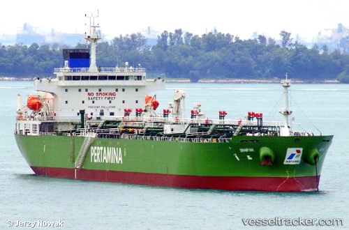
 Senipah
Current Status
Where is the vessel?
Senipah is currently in Near MERAK, based on AIS data received about 1h ago.
Latest AIS update:
Current position: 5.91036° S, 106.00071° E (Near MERAK)
Average speed (last 7 days): Loading…
Average speed (last 30 days): Loading…
Vessel profile: Senipah is a Oil Products Tanker with dimensions 180m x 30m.
This page combines live AIS, route history, probable destination signals, nearby traffic, and port activity for practical vessel monitoring.
The current position of vessel Senipah is -5.91036 lat / 106.00071 lng. Updated: 2026-05-14 05:39:45 UTCNearest reference points:
- Near MERAK
- Near Ardjuna
- Near CIWANDAN
Currently sailing under the flag of Indonesia ![]()
Details:
Live Vessel Senipah Analytics (details, animations, etc.)
Recent AIS points (UTC):
2026-05-14 01:35:05 UTC · -5.91030, 106.00081 · SOG 0 kn · COG 58°2026-05-14 03:47:01 UTC · -5.91028, 106.00074 · SOG 0 kn · COG 58°
2026-05-14 04:50:05 UTC · -5.91031, 106.00082 · SOG 0 kn · COG 58°
2026-05-14 05:39:45 UTC · -5.91036, 106.00071 · SOG 0.1 kn · COG 58°