 vesseltracker.com
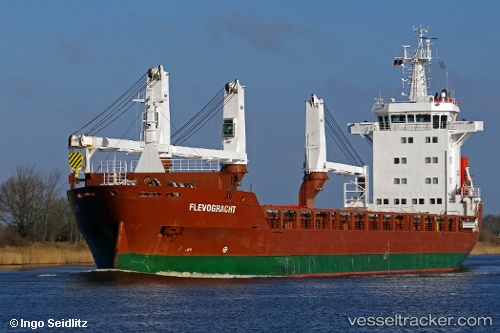
 Flevogracht
Current Status
Where is the vessel?
Flevogracht is currently in Open sea (no nearby ports in database), based on AIS data received less than 1h ago.
Latest AIS update:
Current position: 17.19085° S, 109.40917° W (Open sea (no nearby ports in database))
Average speed (last 7 days): Loading…
Average speed (last 30 days): Loading…
Vessel profile: Flevogracht is a General Cargo Ship with dimensions 136m x 20m.
This page combines live AIS, route history, probable destination signals, nearby traffic, and port activity for practical vessel monitoring.
The current position of vessel Flevogracht is -17.19085 lat / -109.40917 lng. Updated: 2026-05-15 05:28:56 UTCNearest reference points:
- Open sea (no nearby ports in database)
Currently sailing under the flag of Netherlands ![]()
Flevogracht built in 2011 year
Deadweight:
12500 tDetails:
Live Vessel Flevogracht Analytics (details, animations, etc.)
Recent AIS points (UTC):
2026-05-15 01:24:02 UTC · -16.64333, -108.55167 · SOG 14 kn · COG -1°2026-05-15 04:07:54 UTC · -17.01413, -109.12574 · SOG 14.4 kn · COG 235°
2026-05-15 04:48:44 UTC · -17.10575, -109.26736 · SOG 14.3 kn · COG 237°
2026-05-15 05:28:56 UTC · -17.19085, -109.40917 · SOG 14.4 kn · COG 239°