 vesseltracker.com
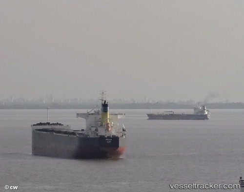
Pella
Current StatusWhere is the vessel?
Pella is currently in 38 nm S of Punta Medanos, based on AIS data received less than 1h ago.
Latest AIS update:
Current position: 37.42167° S, 56.36500° W (38 nm S of Punta Medanos)
Average speed (last 7 days): Loading…
Average speed (last 30 days): Loading…
Vessel profile: Pella is a Bulk Carrier with dimensions 32m x 230m.
This page combines live AIS, route history, probable destination signals, nearby traffic, and port activity for practical vessel monitoring.
The current position of vessel Pella is -37.42167 lat / -56.36500 lng. Updated: 2026-05-13 21:43:23 UTCNearest reference points:
- Near Mar Del Plata
- 91 nm SE of Punta Medanos
- 16 nm N of Cabo San Antonio
Details:
Live Vessel Pella Analytics (details, animations, etc.)
Recent AIS points (UTC):
2026-05-13 17:23:50 UTC · -36.81825, -55.91481 · SOG 10.3 kn · COG 211°2026-05-13 19:32:59 UTC · -37.12803, -56.14343 · SOG 9.6 kn · COG 213°
2026-05-13 19:52:21 UTC · -37.17167, -56.17833 · SOG 9 kn · COG -1°
2026-05-13 21:43:23 UTC · -37.42167, -56.36500 · SOG 8 kn · COG -1°