 vesseltracker.com
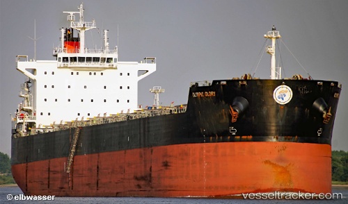
 GLADE
GLADE
Current Status
Where is the vessel?
GLADE is currently in Near TANAH MERAH, based on AIS data received about 1h ago.
Latest AIS update:
Current position: 1.31226° N, 104.08490° E (Near TANAH MERAH)
Average speed (last 7 days): Loading…
Average speed (last 30 days): Loading…
Vessel profile: GLADE is a Bulk Carrier with dimensions m x m.
This page combines live AIS, route history, probable destination signals, nearby traffic, and port activity for practical vessel monitoring.
The current position of vessel GLADE is 1.31226 lat / 104.08490 lng. Updated: 2026-05-15 06:14:13 UTCNearest reference points:
- Near TANAH MERAH
- Near Tanjung Setapa
- Near PENGERANG
Currently sailing under the flag of Marshall Islands ![]()
Details:
Live Vessel GLADE Analytics (details, animations, etc.)
Recent AIS points (UTC):
2026-05-14 23:45:18 UTC · 1.30628, 104.09041 · SOG 2.8 kn · COG 306°2026-05-15 04:18:31 UTC · 1.30865, 104.08860 · SOG 0.1 kn · COG 277°
2026-05-15 04:30:29 UTC · 1.30872, 104.08858 · SOG 0 kn · COG 273°
2026-05-15 06:14:13 UTC · 1.31226, 104.08490 · SOG 3.3 kn · COG 77°