 vesseltracker.com
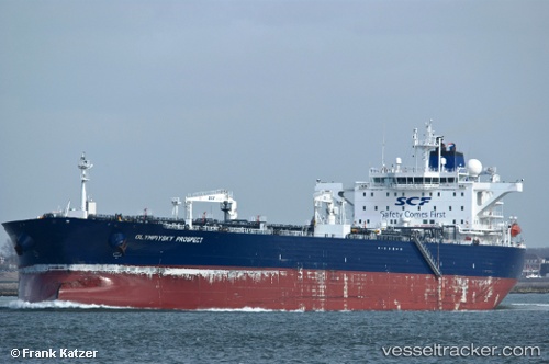
 OASIS
OASIS
Current Status
Where is the vessel?
OASIS is currently in 40 nm W of Villanueva de Lorenzana, based on AIS data received about 1h ago.
Latest AIS update:
Current position: 43.32338° N, 10.18150° W (40 nm W of Villanueva de Lorenzana)
Average speed (last 7 days): Loading…
Average speed (last 30 days): Loading…
Vessel profile: OASIS is a Crude Oil Tanker with dimensions m x m.
This page combines live AIS, route history, probable destination signals, nearby traffic, and port activity for practical vessel monitoring.
The current position of vessel OASIS is 43.32338 lat / -10.18150 lng. Updated: 2026-05-15 17:35:33 UTCNearest reference points:
- 40 nm NW of Sarinena
- 13 nm NE of Villanueva de Lorenzana
- Near Portosin
Currently sailing under the flag of Oman ![]()
Details:
Live Vessel OASIS Analytics (details, animations, etc.)
Recent AIS points (UTC):
2026-05-15 13:49:43 UTC · 44.00006, -9.67910 · SOG 12.2 kn · COG 214°2026-05-15 15:53:02 UTC · 43.63371, -9.95128 · SOG 12.3 kn · COG 207°
2026-05-15 16:35:33 UTC · 43.50697, -10.04518 · SOG 12.6 kn · COG 210°
2026-05-15 17:35:33 UTC · 43.32338, -10.18150 · SOG 12.1 kn · COG 212°