 vesseltracker.com
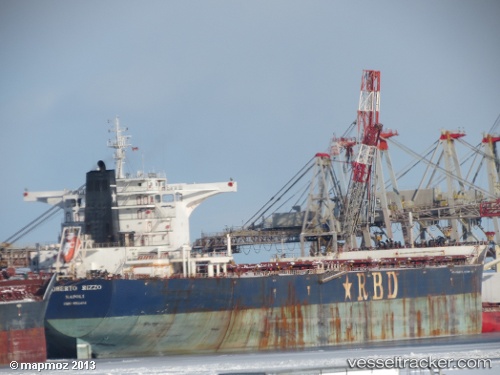
 CAPE SHANGRILA
Current Status
Where is the vessel?
CAPE SHANGRILA is currently in Near Açu Pt/São João da Barra, based on AIS data received less than 1h ago.
Latest AIS update:
Current position: 21.76203° S, 40.94680° W (Near Açu Pt/São João da Barra)
Average speed (last 7 days): Loading…
Average speed (last 30 days): Loading…
Vessel profile: CAPE SHANGRILA is a Bulk Carrier with dimensions m x m.
This page combines live AIS, route history, probable destination signals, nearby traffic, and port activity for practical vessel monitoring.
The current position of vessel CAPE SHANGRILA is -21.76203 lat / -40.94680 lng. Updated: 2026-05-14 19:46:52 UTCNearest reference points:
- Near PORTO DO ACU
- 24 nm SE of Carapebus
- Near Capixaba FPSO
Currently sailing under the flag of Marshall Islands ![]()
Details:
Live Vessel CAPE SHANGRILA Analytics (details, animations, etc.)
Recent AIS points (UTC):
2026-05-14 16:30:15 UTC · -21.80337, -40.89193 · SOG 7.4 kn · COG 286°2026-05-14 17:46:57 UTC · -21.76182, -40.94685 · SOG 0.1 kn · COG 71°
2026-05-14 19:25:53 UTC · -21.76203, -40.94678 · SOG 0.1 kn · COG 66°
2026-05-14 19:46:52 UTC · -21.76203, -40.94680 · SOG 0 kn · COG 66°