 vesseltracker.com
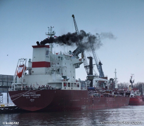
 SKY BLUE
Current Status
Where is the vessel?
SKY BLUE is currently in 16 nm N of Belanak Terminal, based on AIS data received less than 1h ago.
Latest AIS update:
Current position: 4.40835° N, 106.13400° E (16 nm N of Belanak Terminal)
Average speed (last 7 days): Loading…
Average speed (last 30 days): Loading…
Vessel profile: SKY BLUE is a Oil/Chemical Tanker with dimensions m x m.
This page combines live AIS, route history, probable destination signals, nearby traffic, and port activity for practical vessel monitoring.
The current position of vessel SKY BLUE is 4.40835 lat / 106.13400 lng. Updated: 2026-05-16 12:23:55 UTCNearest reference points:
- 30 nm SW of Belanak Terminal
- 45 nm E of Kakap Natuna Terminal
- 26 nm E of Belida Terminal
Currently sailing under the flag of Marshall Islands ![]()
Details:
Live Vessel SKY BLUE Analytics (details, animations, etc.)
Recent AIS points (UTC):
2026-05-16 07:50:57 UTC · 4.40803, 106.13393 · SOG 0 kn · COG 323°2026-05-16 09:53:57 UTC · 4.40898, 106.13275 · SOG 0 kn · COG 330°
2026-05-16 09:53:57 UTC · 4.40898, 106.13275 · SOG 0 kn · COG 330°
2026-05-16 12:23:55 UTC · 4.40835, 106.13400 · SOG 0.1 kn · COG 331°