 vesseltracker.com
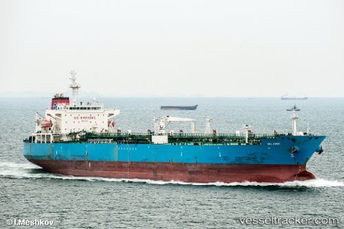
 PACCHA
Current Status
Where is the vessel?
PACCHA is currently in 71 nm W of Tinaquillo, based on AIS data received about 1h ago.
Latest AIS update:
Current position: 9.94833° N, 67.09167° E (71 nm W of Tinaquillo)
Average speed (last 7 days): Loading…
Average speed (last 30 days): Loading…
Vessel profile: PACCHA is a Crude Oil Tanker with dimensions 189m x 32m.
This page combines live AIS, route history, probable destination signals, nearby traffic, and port activity for practical vessel monitoring.
The current position of vessel PACCHA is 9.94833 lat / 67.09167 lng. Updated: 2026-05-14 11:58:24 UTCNearest reference points:
- 98 nm S of Tinaquillo
Currently sailing under the flag of Marshall Islands ![]()
PACCHA built in 2009 year
Deadweight:
50091 tDetails:
Live Vessel PACCHA Analytics (details, animations, etc.)
Recent AIS points (UTC):
2026-05-14 08:10:21 UTC · 10.25333, 66.33333 · SOG 12 kn · COG -1°2026-05-14 09:51:43 UTC · 10.11879, 66.66944 · SOG 12.6 kn · COG 112°
2026-05-14 10:25:20 UTC · 10.07833, 66.78333 · SOG 12 kn · COG -1°
2026-05-14 11:58:24 UTC · 9.94833, 67.09167 · SOG 12 kn · COG -1°