 vesseltracker.com
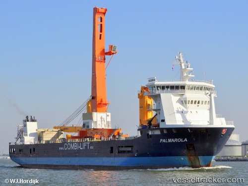
Calypso
Current StatusWhere is the vessel?
Calypso is currently in Near Kalundborg, based on AIS data received less than 1h ago.
Latest AIS update:
Current position: 55.67240° N, 11.09581° E (Near Kalundborg)
Average speed (last 7 days): Loading…
Average speed (last 30 days): Loading…
Vessel profile: Calypso is a Multi Purpose Carrier with dimensions 23m x 133m.
This page combines live AIS, route history, probable destination signals, nearby traffic, and port activity for practical vessel monitoring.
The current position of vessel Calypso is 55.67240 lat / 11.09581 lng. Updated: 2026-05-14 07:58:29 UTCNearest reference points:
- Near Kalundborg
- Near Eskebjerg
- Near Lindholm Havn
Details:
Live Vessel Calypso Analytics (details, animations, etc.)
Recent AIS points (UTC):
2026-05-14 03:42:19 UTC · 55.67241, 11.09574 · SOG 0 kn · COG 284°2026-05-14 04:31:17 UTC · 55.67238, 11.09578 · SOG 0 kn · COG 284°
2026-05-14 05:43:26 UTC · 55.67241, 11.09576 · SOG 0 kn · COG 284°
2026-05-14 07:58:29 UTC · 55.67240, 11.09581 · SOG 0 kn · COG -1°