 vesseltracker.com
 Mount Hedland
Current Status
Where is the vessel?
Mount Hedland is currently in 77 nm NW of PARE PARE, based on AIS data received less than 1h ago.
Latest AIS update:
Current position: 3.34432° S, 118.52448° E (77 nm NW of PARE PARE)
Average speed (last 7 days): Loading…
Average speed (last 30 days): Loading…
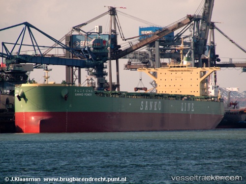
Vessel profile: Mount Hedland is a Bulk Carrier with dimensions 292m x 45m.
This page combines live AIS, route history, probable destination signals, nearby traffic, and port activity for practical vessel monitoring.
The current position of vessel Mount Hedland is -3.34432 lat / 118.52448 lng. Updated: 2026-05-13 23:44:57 UTCNearest reference points:
- 12 nm W of Panakukang
- Near Makassar
- Near Panakukang
Currently sailing under the flag of Liberia ![]()
Mount Hedland built in 2010 year
Deadweight:
181196 tDetails:
Live Vessel Mount Hedland Analytics (details, animations, etc.)
Recent AIS points (UTC):
2026-05-13 14:22:17 UTC · -4.69611, 117.75261 · SOG 10.6 kn · COG 37°2026-05-13 14:22:17 UTC · -4.69611, 117.75261 · SOG 10.6 kn · COG 37°
2026-05-13 14:22:17 UTC · -4.69611, 117.75261 · SOG 10.6 kn · COG 37°
2026-05-13 23:44:57 UTC · -3.34432, 118.52448 · SOG 8.6 kn · COG 349°