 vesseltracker.com
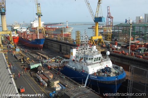
 OCEAN CLEVER
Current Status
Where is the vessel?
OCEAN CLEVER is currently in 12 nm SE of RAS LAFFAN, based on AIS data received about 2h ago.
Latest AIS update:
Current position: 25.76433° N, 51.78259° E (12 nm SE of RAS LAFFAN)
Average speed (last 7 days): Loading…
Average speed (last 30 days): Loading…
Vessel profile: OCEAN CLEVER is a Offshore Tug/Supply Ship with dimensions 16m x 61m.
This page combines live AIS, route history, probable destination signals, nearby traffic, and port activity for practical vessel monitoring.
The current position of vessel OCEAN CLEVER is 25.76433 lat / 51.78259 lng. Updated: 2026-05-15 00:01:26 UTCNearest reference points:
- Near RAS LAFFAN
- 21 nm NE of Halul Island
- Near KHALIFA BIN SALMAN
Currently sailing under the flag of St Vincent and Grenadines ![]()
OCEAN CLEVER built in 2009 year
Deadweight:
1548 tDetails:
Live Vessel OCEAN CLEVER Analytics (details, animations, etc.)
Recent AIS points (UTC):
2026-05-14 10:49:06 UTC · 25.79892, 51.68795 · SOG 1.4 kn · COG 350°2026-05-14 10:49:06 UTC · 25.79892, 51.68795 · SOG 1.4 kn · COG 350°
2026-05-14 10:49:06 UTC · 25.79892, 51.68795 · SOG 1.4 kn · COG 350°
2026-05-15 00:01:26 UTC · 25.76433, 51.78259 · SOG 0.2 kn · COG 311°