 vesseltracker.com
 SW NORTH WIND I
Current Status
Where is the vessel?
SW NORTH WIND I is currently in 33 nm E of Saga, based on AIS data received less than 1h ago.
Latest AIS update:
Current position: 32.91633° N, 133.72893° E (33 nm E of Saga)
Average speed (last 7 days): Loading…
Average speed (last 30 days): Loading…
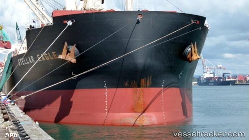
Vessel profile: SW NORTH WIND I is a Bulk Carrier with dimensions m x m.
This page combines live AIS, route history, probable destination signals, nearby traffic, and port activity for practical vessel monitoring.
The current position of vessel SW NORTH WIND I is 32.91633 lat / 133.72893 lng. Updated: 2026-05-17 18:01:13 UTCNearest reference points:
- Near Kochi
- Near NYUGAWA
- 77 nm S of Sukumowan
Currently sailing under the flag of Panama ![]()
Details:
Live Vessel SW NORTH WIND I Analytics (details, animations, etc.)
Recent AIS points (UTC):
2026-05-17 13:55:52 UTC · 32.85570, 133.69234 · SOG 3.2 kn · COG 228°2026-05-17 15:50:12 UTC · 32.89588, 133.70412 · SOG 3.3 kn · COG 295°
2026-05-17 16:30:03 UTC · 32.92677, 133.72893 · SOG 3.1 kn · COG 306°
2026-05-17 18:01:13 UTC · 32.91633, 133.72893 · SOG 1.1 kn · COG 203°