 vesseltracker.com
 Shining Road
Current Status
Where is the vessel?
Shining Road is currently in Near DAESAN, based on AIS data received less than 1h ago.
Latest AIS update:
Current position: 37.04553° N, 126.39807° E (Near DAESAN)
Average speed (last 7 days): Loading…
Average speed (last 30 days): Loading…
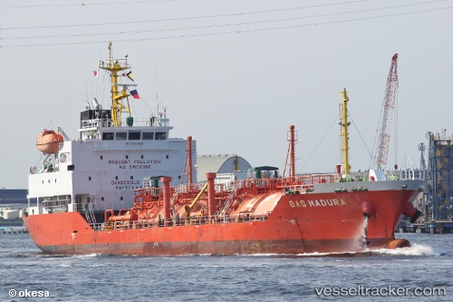
Vessel profile: Shining Road is a Lpg Tanker with dimensions 97m x 17m.
This page combines live AIS, route history, probable destination signals, nearby traffic, and port activity for practical vessel monitoring.
The current position of vessel Shining Road is 37.04553 lat / 126.39807 lng. Updated: 2026-05-15 05:46:26 UTCNearest reference points:
- Near DAESAN
- 10 nm N of DAESAN
- 14 nm SW of Incheon
Currently sailing under the flag of Korea ![]()
Details:
Live Vessel Shining Road Analytics (details, animations, etc.)
Recent AIS points (UTC):
2026-05-15 00:16:27 UTC · 37.04640, 126.39647 · SOG 0.1 kn · COG 140°2026-05-15 03:37:26 UTC · 37.04615, 126.39817 · SOG 0 kn · COG 260°
2026-05-15 05:01:28 UTC · 37.04598, 126.39822 · SOG 0 kn · COG 273°
2026-05-15 05:46:26 UTC · 37.04553, 126.39807 · SOG 0.1 kn · COG 297°