 vesseltracker.com
 DOLCE VITA
Current Status
Where is the vessel?
DOLCE VITA is currently in 28 nm E of Dumai, based on AIS data received less than 1h ago.
Latest AIS update:
Current position: 1.58033° N, 101.91582° E (28 nm E of Dumai)
Average speed (last 7 days): Loading…
Average speed (last 30 days): Loading…
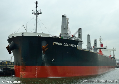
Vessel profile: DOLCE VITA is a Bulk Carrier with dimensions 32m x 200m.
This page combines live AIS, route history, probable destination signals, nearby traffic, and port activity for practical vessel monitoring.
The current position of vessel DOLCE VITA is 1.58033 lat / 101.91582 lng. Updated: 2026-05-14 09:22:20 UTCNearest reference points:
- 34 nm NW of FUTONG
- Near Dumai
- 14 nm W of SUNGAI UDANG
Currently sailing under the flag of Liberia ![]()
DOLCE VITA built in 2012 year
Deadweight:
61616 tDetails:
Live Vessel DOLCE VITA Analytics (details, animations, etc.)
Recent AIS points (UTC):
2026-05-14 05:30:40 UTC · 2.23648, 101.84135 · SOG 11.1 kn · COG 130°2026-05-14 07:45:40 UTC · 1.89634, 101.85646 · SOG 7.2 kn · COG 178°
2026-05-14 07:56:30 UTC · 1.86779, 101.85797 · SOG 11 kn · COG 178°
2026-05-14 09:22:20 UTC · 1.58033, 101.91582 · SOG 7.1 kn · COG 272°