 vesseltracker.com
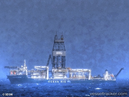
Deepwater Mykonos
Current StatusWhere is the vessel?
Deepwater Mykonos is currently in Near Barra do Riacho Pt / Aracruz, based on AIS data received about 1h ago.
Latest AIS update:
Current position: 19.88667° S, 39.98500° W (Near Barra do Riacho Pt / Aracruz)
Average speed (last 7 days): Loading…
Average speed (last 30 days): Loading…
Vessel profile: Deepwater Mykonos is a Drilling Ship with dimensions 42m x 228m.
This page combines live AIS, route history, probable destination signals, nearby traffic, and port activity for practical vessel monitoring.
The current position of vessel Deepwater Mykonos is -19.88667 lat / -39.98500 lng. Updated: 2026-05-14 10:15:29 UTCNearest reference points:
- Near Tubarão Pt./Vitória
- Near JARDIM CAMBURI
- Near BAIA DE VITORIA
Details:
Live Vessel Deepwater Mykonos Analytics (details, animations, etc.)
Recent AIS points (UTC):
2026-05-14 07:00:29 UTC · -19.88667, -39.98500 · SOG 0 kn · COG -1°2026-05-14 07:39:28 UTC · -19.88667, -39.98500 · SOG 0 kn · COG -1°
2026-05-14 10:06:30 UTC · -19.88667, -39.98500 · SOG 0 kn · COG -1°
2026-05-14 10:15:29 UTC · -19.88667, -39.98500 · SOG 0 kn · COG -1°