 vesseltracker.com
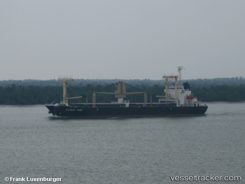
 EASTERN HARMONY
Current Status
Where is the vessel?
EASTERN HARMONY is currently in 114 nm E of Wenling Longmen Port, based on AIS data received less than 1h ago.
Latest AIS update:
Current position: 27.78167° N, 124.00500° E (114 nm E of Wenling Longmen Port)
Average speed (last 7 days): Loading…
Average speed (last 30 days): Loading…
Vessel profile: EASTERN HARMONY is a General Cargo Ship with dimensions 20m x 119m.
This page combines live AIS, route history, probable destination signals, nearby traffic, and port activity for practical vessel monitoring.
The current position of vessel EASTERN HARMONY is 27.78167 lat / 124.00500 lng. Updated: 2026-05-13 19:13:32 UTCNearest reference points:
- 102 nm E of Wenling Longmen Port
- 55 nm E of Wenling Longmen Port
- 97 nm SE of Wenling Longmen Port
Currently sailing under the flag of Liberia ![]()
EASTERN HARMONY built in 2009 year
Deadweight:
12000 tDetails:
Live Vessel EASTERN HARMONY Analytics (details, animations, etc.)
Recent AIS points (UTC):
2026-05-13 15:33:24 UTC · 28.41007, 123.91175 · SOG 10 kn · COG 173°2026-05-13 15:33:24 UTC · 28.41007, 123.91175 · SOG 10 kn · COG 173°
2026-05-13 15:33:24 UTC · 28.41007, 123.91175 · SOG 10 kn · COG 173°
2026-05-13 19:13:32 UTC · 27.78167, 124.00500 · SOG 10 kn · COG -1°