 vesseltracker.com
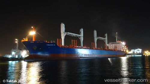
 BAM DESPINA
Current Status
Where is the vessel?
BAM DESPINA is currently in 137 nm SE of Barreiros, based on AIS data received less than 1h ago.
Latest AIS update:
Current position: 9.90529° S, 33.15239° W (137 nm SE of Barreiros)
Average speed (last 7 days): Loading…
Average speed (last 30 days): Loading…
Vessel profile: BAM DESPINA is a Bulk Carrier with dimensions m x m.
This page combines live AIS, route history, probable destination signals, nearby traffic, and port activity for practical vessel monitoring.
The current position of vessel BAM DESPINA is -9.90529 lat / -33.15239 lng. Updated: 2026-05-13 23:37:31 UTCNearest reference points:
- 157 nm SE of Maceio
- Near Suape
- Near Boa Viagem
Currently sailing under the flag of Marshall Islands ![]()
Details:
Live Vessel BAM DESPINA Analytics (details, animations, etc.)
Recent AIS points (UTC):
2026-05-13 19:56:54 UTC · -10.50454, -33.45269 · SOG 11.3 kn · COG 27°2026-05-13 21:46:00 UTC · -10.20256, -33.30344 · SOG 10.6 kn · COG 27°
2026-05-13 22:31:00 UTC · -10.08112, -33.24221 · SOG 10.6 kn · COG 27°
2026-05-13 23:37:31 UTC · -9.90529, -33.15239 · SOG 10.9 kn · COG 27°