 vesseltracker.com
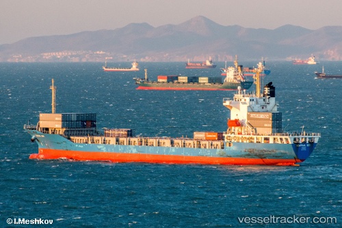
 Nagoya Trader
Current Status
Where is the vessel?
Nagoya Trader is currently in 53 nm NE of Honghai, based on AIS data received less than 1h ago.
Latest AIS update:
Current position: 20.33686° N, 111.60726° E (53 nm NE of Honghai)
Average speed (last 7 days): Loading…
Average speed (last 30 days): Loading…
Vessel profile: Nagoya Trader is a Container Ship with dimensions 145m x 22m.
This page combines live AIS, route history, probable destination signals, nearby traffic, and port activity for practical vessel monitoring.
The current position of vessel Nagoya Trader is 20.33686 lat / 111.60726 lng. Updated: 2026-05-14 04:49:42 UTCNearest reference points:
- 57 nm NE of Honghai
- 46 nm S of Zhapo
- 34 nm S of Dianbai
Currently sailing under the flag of Korea ![]()
Nagoya Trader built in 2009 year
Deadweight:
12550 tDetails:
Live Vessel Nagoya Trader Analytics (details, animations, etc.)
Recent AIS points (UTC):
2026-05-14 01:04:48 UTC · 20.23226, 110.80532 · SOG 9.2 kn · COG 89°2026-05-14 01:34:07 UTC · 20.24428, 110.88518 · SOG 8.8 kn · COG 77°
2026-05-14 03:35:48 UTC · 20.28297, 111.28721 · SOG 14 kn · COG 81°
2026-05-14 04:49:42 UTC · 20.33686, 111.60726 · SOG 15.1 kn · COG 79°