 vesseltracker.com
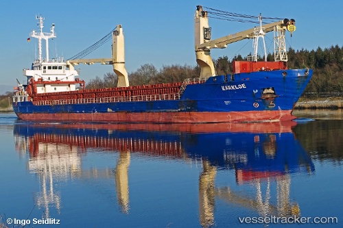
 RUBYLAND
Current Status
Where is the vessel?
RUBYLAND is currently in Near Casablanca, based on AIS data received about 1h ago.
Latest AIS update:
Current position: 33.67500° N, 7.58333° W (Near Casablanca)
Average speed (last 7 days): Loading…
Average speed (last 30 days): Loading…
Vessel profile: RUBYLAND is a General Cargo Ship with dimensions 106m x 15m.
This page combines live AIS, route history, probable destination signals, nearby traffic, and port activity for practical vessel monitoring.
The current position of vessel RUBYLAND is 33.67500 lat / -7.58333 lng. Updated: 2026-04-27 19:55:40 UTCNearest reference points:
- Near Mohammedia
- Near Jorf Lasfar
- 54 nm N of El Jadida
Currently sailing under the flag of Portugal (MAR) ![]()
RUBYLAND built in 2011 year
Deadweight:
5724 tDetails:
Live Vessel RUBYLAND Analytics (details, animations, etc.)
Recent AIS points (UTC):
2026-04-27 17:01:39 UTC · 33.67500, -7.58333 · SOG 0 kn · COG -1°2026-04-27 18:10:15 UTC · 33.67520, -7.58461 · SOG 0.5 kn · COG 11°
2026-04-27 19:22:13 UTC · 33.67522, -7.58440 · SOG 0.5 kn · COG 357°
2026-04-27 19:55:40 UTC · 33.67500, -7.58333 · SOG 0 kn · COG -1°