 vesseltracker.com
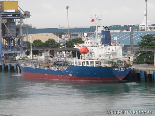
 SL TINDALO
Current Status
Where is the vessel?
SL TINDALO is currently in 36 nm S of Kalamansig, based on AIS data received about 1h ago.
Latest AIS update:
Current position: 5.97227° N, 124.17860° E (36 nm S of Kalamansig)
Average speed (last 7 days): Loading…
Average speed (last 30 days): Loading…
Vessel profile: SL TINDALO is a Oil/Chemical Tanker with dimensions m x m.
This page combines live AIS, route history, probable destination signals, nearby traffic, and port activity for practical vessel monitoring.
The current position of vessel SL TINDALO is 5.97227 lat / 124.17860 lng. Updated: 2026-05-14 06:04:01 UTCNearest reference points:
- Near DICT / SVT
- 14 nm SE of Zamboanga
- 48 nm N of Melonguanne
Currently sailing under the flag of Philippines ![]()
Details:
Live Vessel SL TINDALO Analytics (details, animations, etc.)
Recent AIS points (UTC):
2026-05-13 23:53:01 UTC · 5.60173, 125.15598 · SOG 9 kn · COG 292°2026-05-13 23:53:01 UTC · 5.60173, 125.15598 · SOG 9 kn · COG 292°
2026-05-13 23:53:01 UTC · 5.60173, 125.15598 · SOG 9 kn · COG 292°
2026-05-14 06:04:01 UTC · 5.97227, 124.17860 · SOG 10.1 kn · COG 291°