 vesseltracker.com
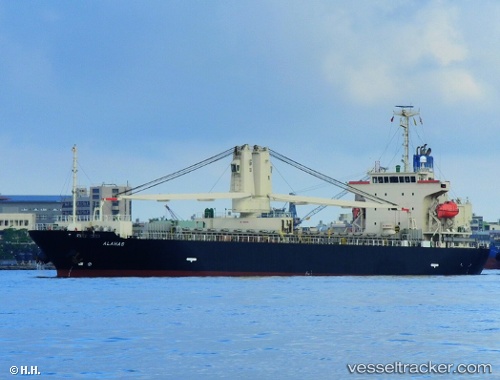
 ALAHAS
Current Status
Where is the vessel?
ALAHAS is currently in Near Cape Saint Jacques, based on AIS data received about 1h ago.
Latest AIS update:
Current position: 10.35129° N, 107.04001° E (Near Cape Saint Jacques)
Average speed (last 7 days): Loading…
Average speed (last 30 days): Loading…
Vessel profile: ALAHAS is a General Cargo with dimensions m x m.
This page combines live AIS, route history, probable destination signals, nearby traffic, and port activity for practical vessel monitoring.
The current position of vessel ALAHAS is 10.35129 lat / 107.04001 lng. Updated: 2026-05-14 05:37:21 UTCNearest reference points:
- Near Cape Saint Jacques
- Near Cai Mep
- Near Cape St. Jacques
Currently sailing under the flag of Panama ![]()
Details:
Live Vessel ALAHAS Analytics (details, animations, etc.)
Recent AIS points (UTC):
2026-05-14 01:38:24 UTC · 10.35127, 107.03994 · SOG 0 kn · COG 208°2026-05-14 03:46:44 UTC · 10.35140, 107.03980 · SOG 0 kn · COG 200°
2026-05-14 04:53:06 UTC · 10.35141, 107.03975 · SOG 0 kn · COG 199°
2026-05-14 05:37:21 UTC · 10.35129, 107.04001 · SOG 0 kn · COG 215°