 vesseltracker.com
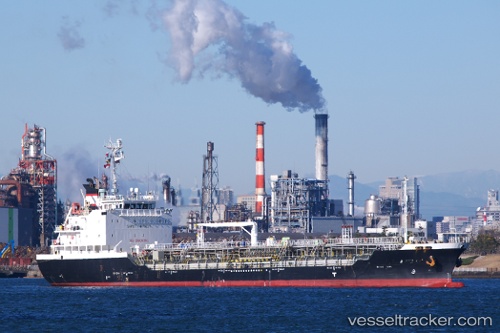
 ALIKI
ALIKI
Current Status
Where is the vessel?
ALIKI is currently in Near Sliema, based on AIS data received about 1h ago.
Latest AIS update:
Current position: 35.88550° N, 14.50312° E (Near Sliema)
Average speed (last 7 days): Loading…
Average speed (last 30 days): Loading…
Vessel profile: ALIKI is a Oil/Chemical Tanker with dimensions m x m.
This page combines live AIS, route history, probable destination signals, nearby traffic, and port activity for practical vessel monitoring.
The current position of vessel ALIKI is 35.88550 lat / 14.50312 lng. Updated: 2026-05-13 11:58:34 UTCNearest reference points:
- Near Sliema
- Near Floriana
- Near Valletta
Currently sailing under the flag of Malta ![]()
Details:
Live Vessel ALIKI Analytics (details, animations, etc.)
Recent AIS points (UTC):
2026-05-13 05:45:53 UTC · 35.86578, 14.76587 · SOG 0 kn · COG 350°2026-05-13 09:49:20 UTC · 35.90877, 14.63277 · SOG 6 kn · COG 289°
2026-05-13 10:48:53 UTC · 35.90028, 14.52228 · SOG 6 kn · COG 224°
2026-05-13 11:58:34 UTC · 35.88550, 14.50312 · SOG 0 kn · COG 44°