 vesseltracker.com
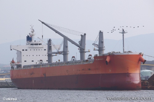
Pm Hayabusa
Current StatusWhere is the vessel?
Pm Hayabusa is currently in 46 nm SW of Isla Gobernadora, based on AIS data received less than 1h ago.
Latest AIS update:
Current position: 6.90344° N, 81.61776° W (46 nm SW of Isla Gobernadora)
Average speed (last 7 days): Loading…
Average speed (last 30 days): Loading…
Vessel profile: Pm Hayabusa is a Bulk Carrier with dimensions 32m x 190m.
This page combines live AIS, route history, probable destination signals, nearby traffic, and port activity for practical vessel monitoring.
The current position of vessel Pm Hayabusa is 6.90344 lat / -81.61776 lng. Updated: 2026-04-25 01:46:06 UTCNearest reference points:
- 20 nm S of El Puerto
- Near Chiriquí Grande
- 30 nm E of El Cirial (Isla Iguana)
Details:
Live Vessel Pm Hayabusa Analytics (details, animations, etc.)
Recent AIS points (UTC):
2026-04-24 22:33:33 UTC · 7.05833, -82.22333 · SOG 11 kn · COG -1°2026-04-25 00:19:59 UTC · 6.91399, -81.89972 · SOG 11.8 kn · COG 108°
2026-04-25 01:21:37 UTC · 6.90333, -81.69667 · SOG 11 kn · COG -1°
2026-04-25 01:46:06 UTC · 6.90344, -81.61776 · SOG 11.5 kn · COG 90°